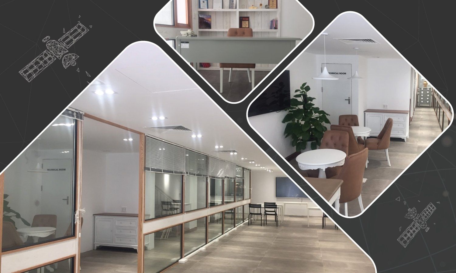
Specializing in providing solutions and services of remote sensing, GIS for monitoring tasks, planning territories, supporting planning policies and... read more
Providing solutions, services & software for remote sensing, geospatial for forest management.
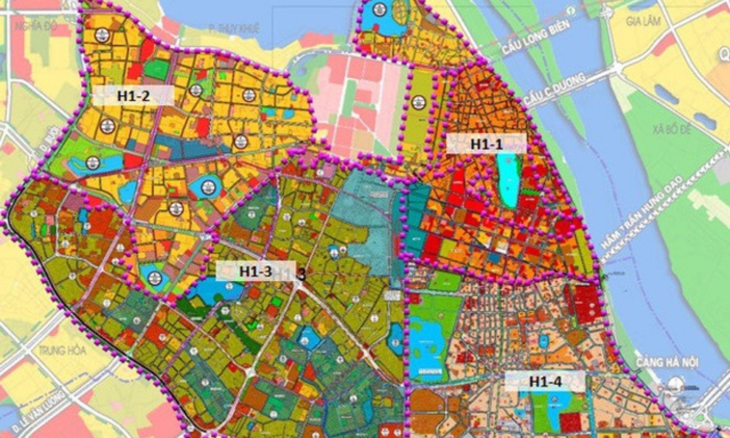
Map of detecting land changes, monitoring and monitoring... read more

Providing remote sensing solutions, geographic information (GIS), and data digitization services, supporting content editing for reports and surveys.
Provide satellite... read more
Provide remote sensing and GIS data solutions for regional and local planning.
Using geospatial data for the purposes of land... read more
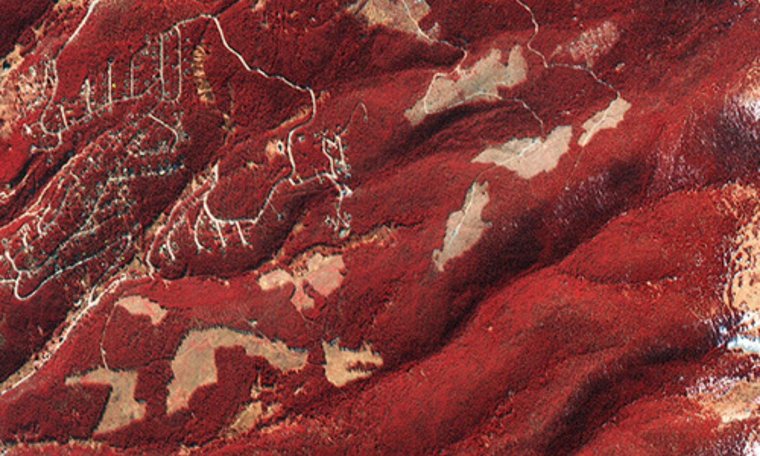
Analyze and process remote sensing and geospatial data for important construction projects.
• Provides accurate georeferenced satellite data
• Provide high-resolution... read more

Provide disaster risk monitoring and management system. Remote sensing solution allows to monitor crops, prepare crop insurance, estimate agricultural... read more
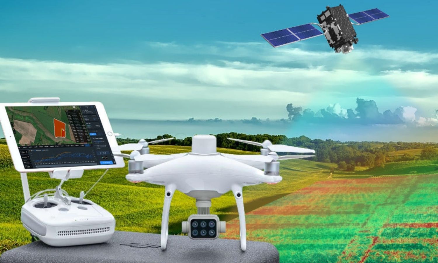
Research and development solutions for traceability and yield estimation in agriculture. Geospatial data performs the task of direct observation... read more
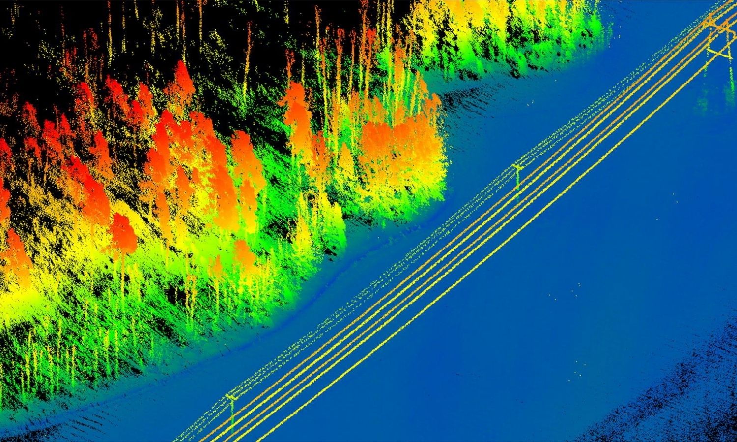
Providing remote sensing solutions for monitoring, making thematic maps for the task of developing the power industry.
Using remote sensing... read more
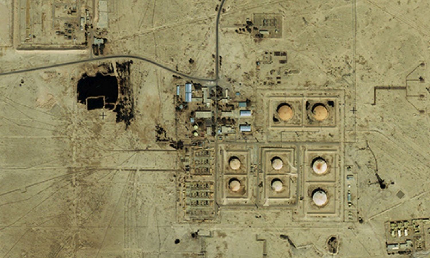
Analyzing and processing remote sensing data in potential energy exploitation and development such as oil and gas, mineral fields,... read more
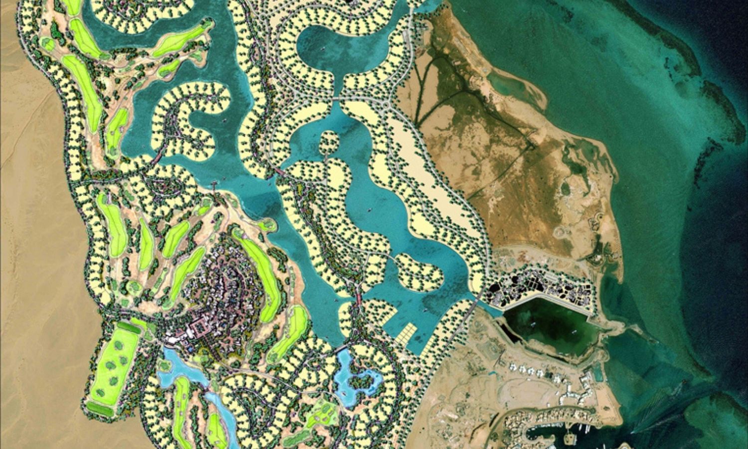
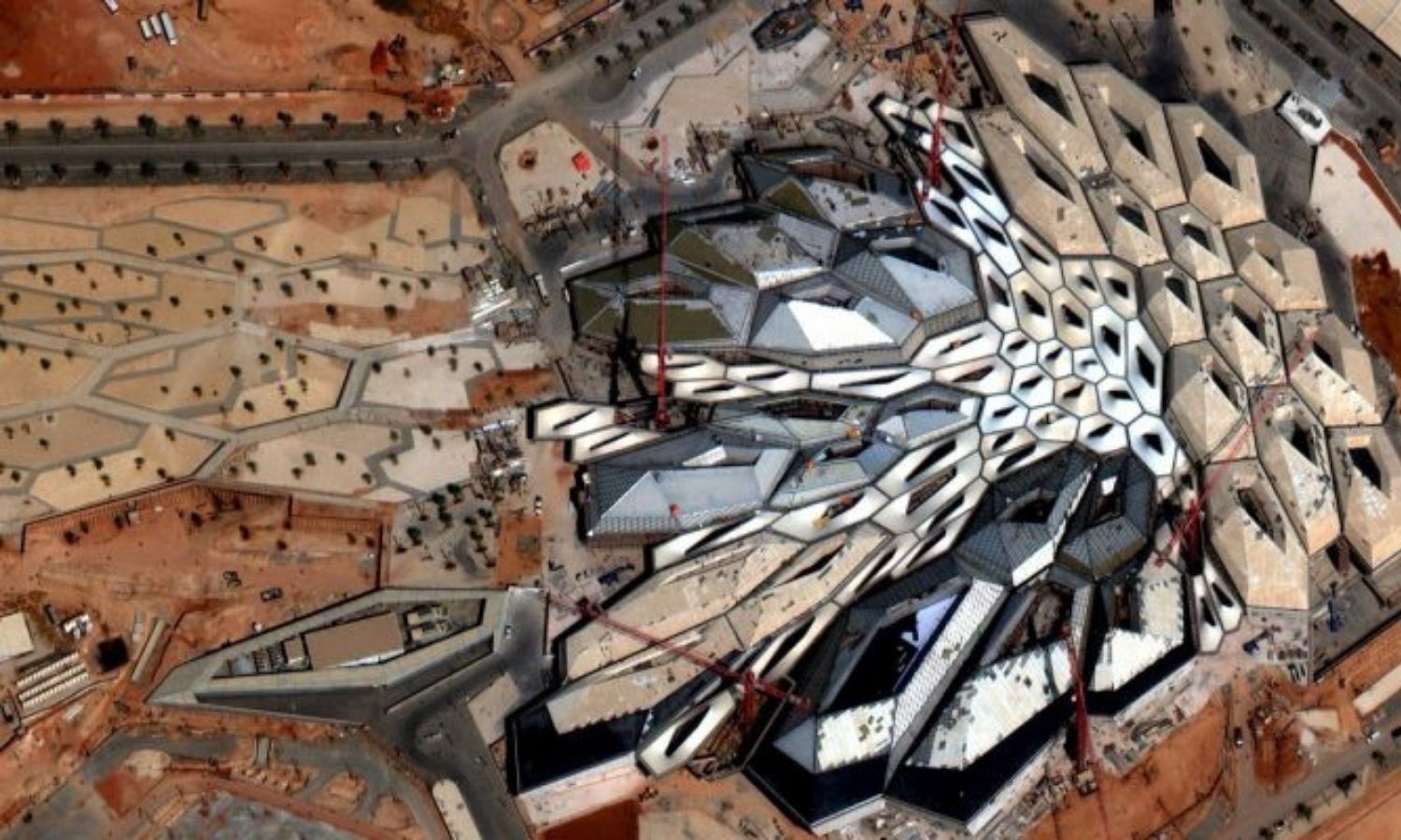
Provides high-resolution satellite imagery and GIS data for tourism & recreation projects, accurate digital mapping of areas with subsidence.
Digital... read more