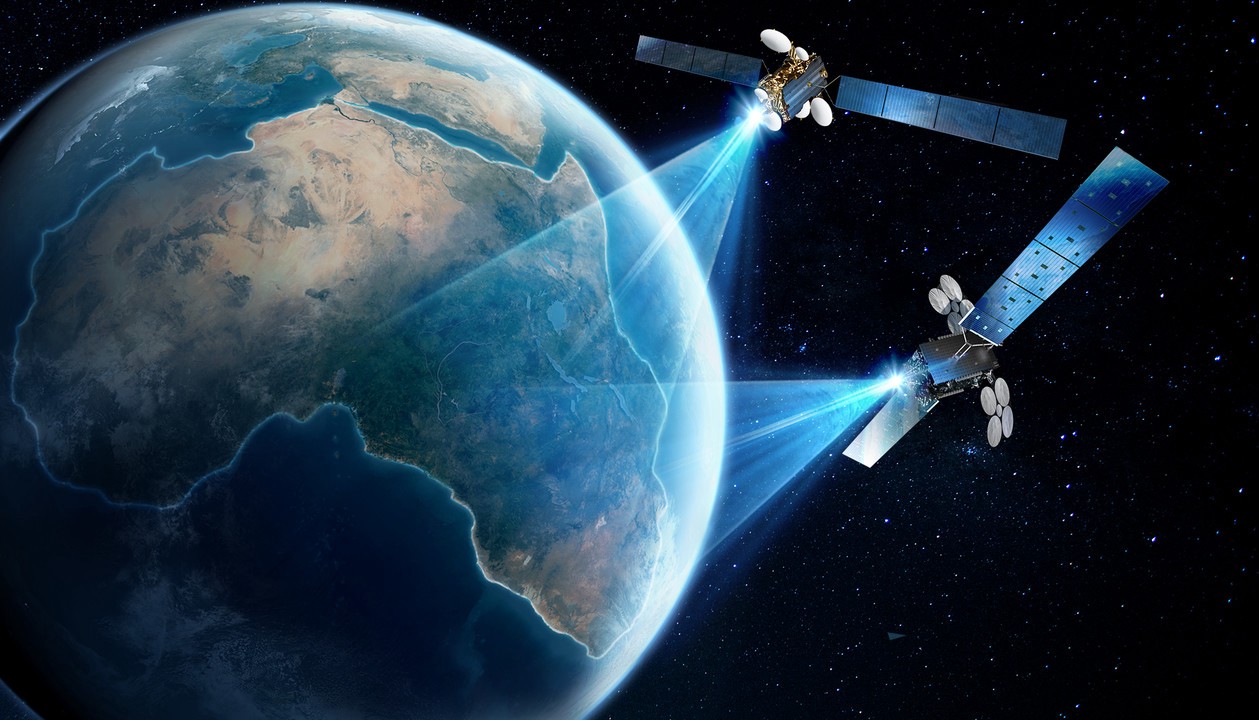
Vegastar Geospatial Center under Vegastar Technology Co., Ltd (VEGASTAR TECHNOLOGY), was born with the purpose of carrying out the mission of leading the development of space technology – Geospatial in Vietnam Nam, becoming a reliable and exclusive distributor of products and equipment for major satellite manufacturers in the world.
We provide all services and solutions for remote sensing – geospatial for Government, Enterprises, individuals, in the fields of Air, Sea, Land, and space.
History begins
Vestar Geospatial was established in 2015 by leading experts in the field of remote sensing, informatics survey, and geodesy. We provide design consulting services, provide satellite remote sensing images, analyze remote sensing data, develop software for important fields such as Security & Defense, Environmental Resources, Search Rescue, Infrastructure Management, Alternative Power Sector, Climate Change, Forest Management, Real Estate, Mineral Mines, Agriculture – Forestry – Fisheries, Insurance & Finance, Entertainment Services. ..
Human Resources: 85% of employees are specialized engineers who are formally trained at home and abroad and improve their skills at large corporations and manufacturers abroad. The services we provide always bring satisfaction to users.
Some capabilities and experiences of the Center for Geospatial Technology – Vestar Geospatial Center.
- Provides high resolution (up to 1.5m, 0.8m) and super high resolution (0.5m, 0.3m) optical satellite images of famous satellites such as Worldview 3, Pleiades 1A/1B, Kompsat 3/3A, Spot 6/7,
- Provides super high-resolution Radar satellite images (up to 1m, 0.5m) of satellites such as Cosmo–SkyMed, TerraSAR – X…
- Provides emergency satellite photography (optical and radar), shooting according to a preset schedule.
- Consulting, providing solutions, mapping remote sensing images to report (one time or many times) the current status of the area on the mainland, islands (islands, rocks…) However, make an annual report on actual developments. Multiple reports are used to monitor the status of the area whenever there is an abnormal change.


