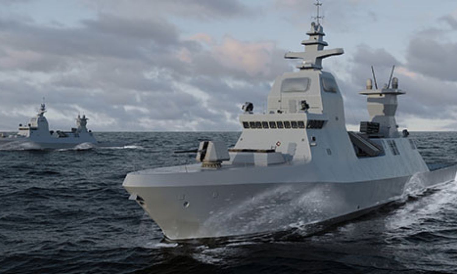
Providing professional solutions, equipment, radar systems, and naval combat systems for search and rescue and a variety of missions... read more

Specializing in providing solutions and services of remote sensing, GIS for monitoring tasks, planning territories, supporting planning policies and... read more
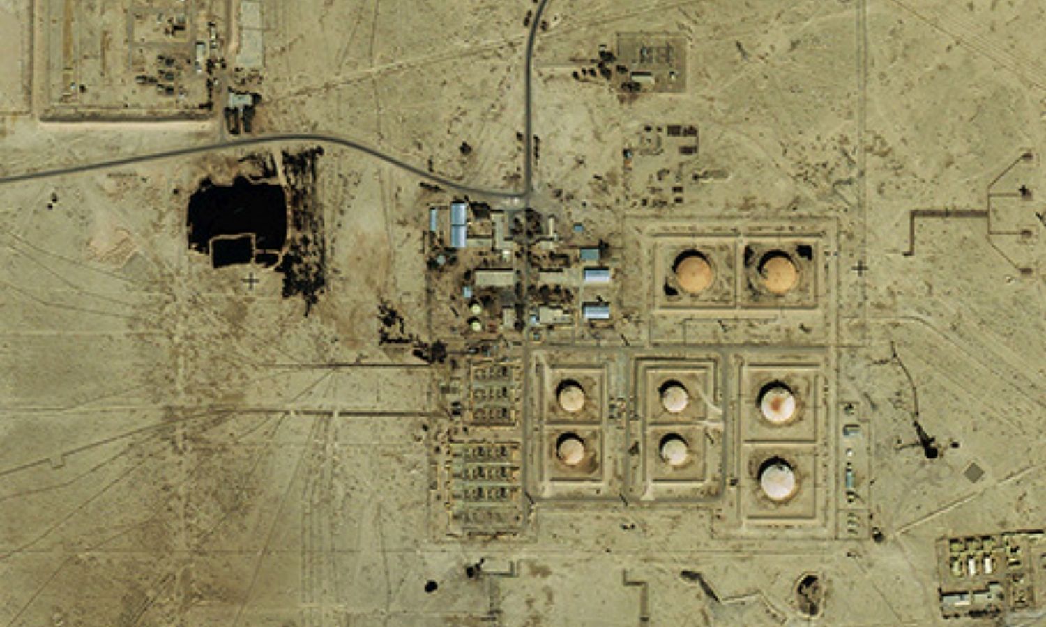
Analyzing and processing remote sensing data in potential energy exploitation and development such as oil and gas, mineral fields,... read more

Providing marketing consulting services for geospatial remote sensing products and GIS technology
Building geodatabase, infrastructure
Build a database that includes business... read more
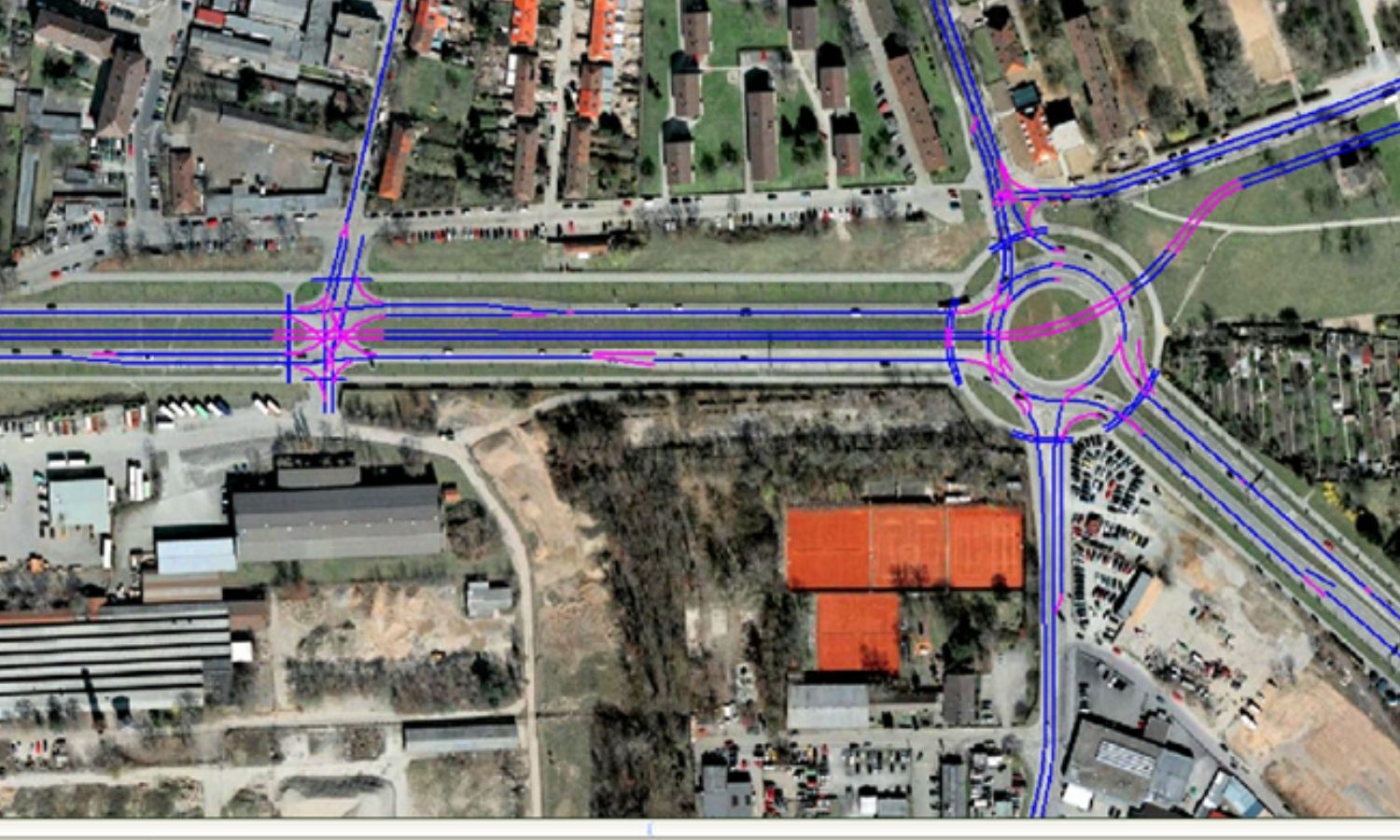
Providing solutions and services of remote sensing – geospatial in the task of planning and construction of the transport... read more
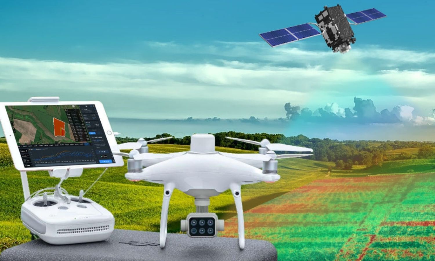
Research and development solutions for traceability and yield estimation in agriculture. Geospatial data performs the task of direct observation... read more
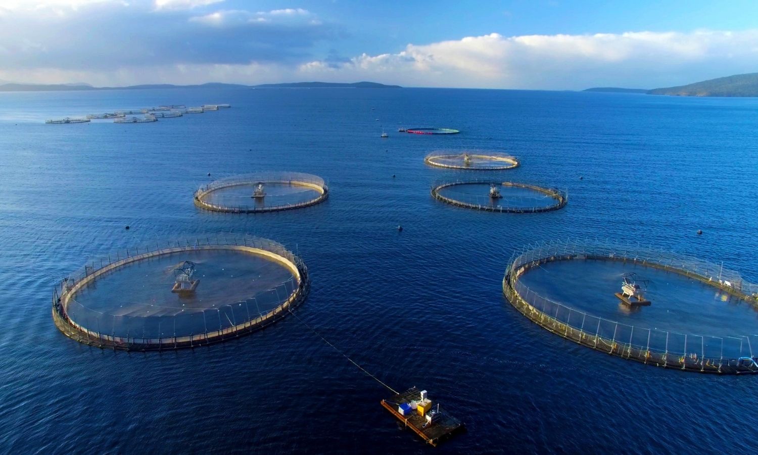
Researching software to trace output in agriculture in general and providing remote sensing and GIS solutions for aquaculture in... read more
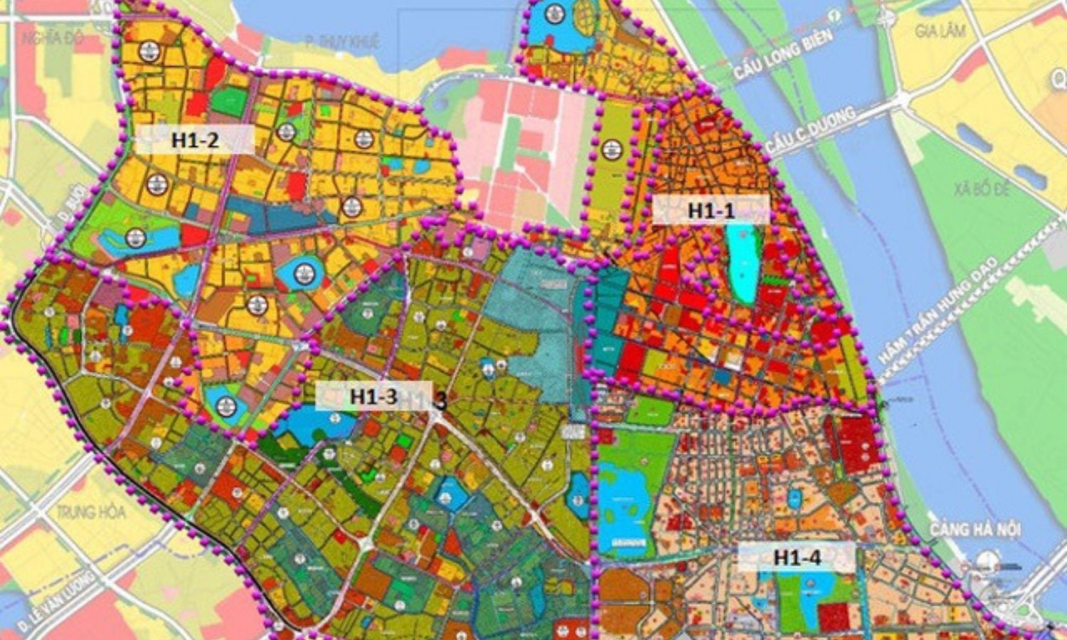
Provide remote sensing and GIS data solutions for regional and local planning.
Using geospatial data for the purposes of land... read more
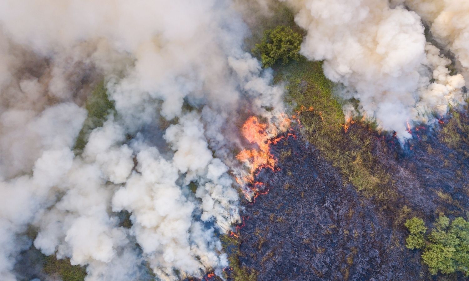
Provide emergency services from satellite data such as search and rescue, timely response to natural disasters, forest fire detection.
Prepare... read more
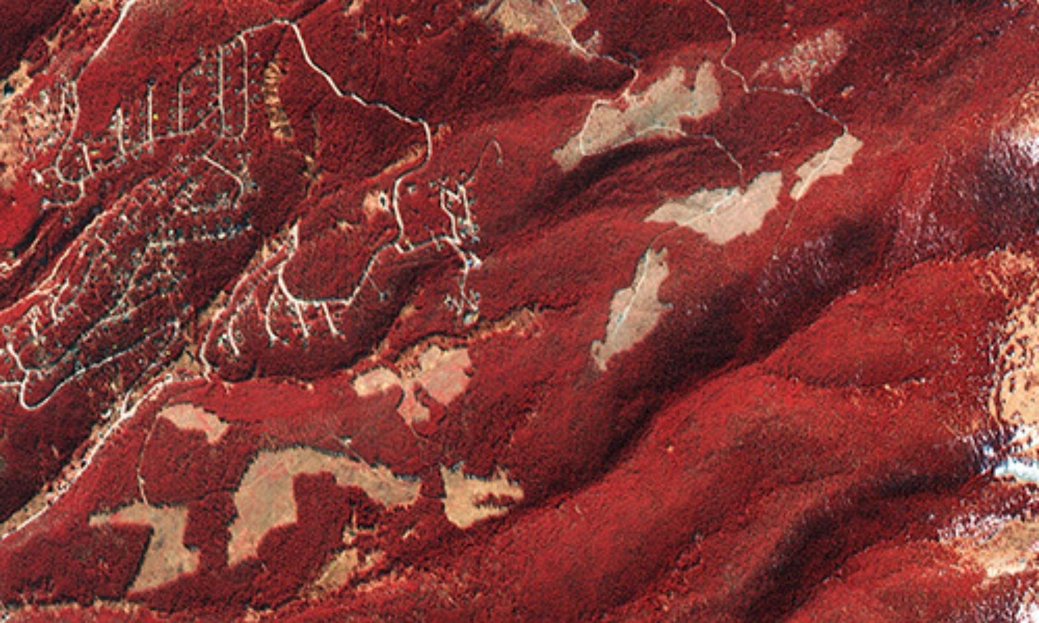
Providing solutions, services & software for remote sensing, geospatial for forest management.
Map of detecting land changes, monitoring and monitoring... read more