Forest
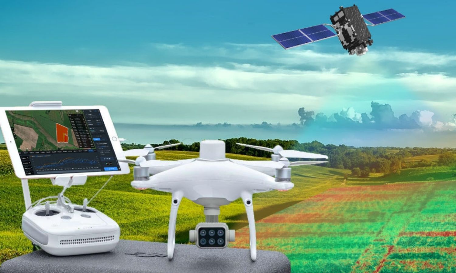
Providing solutions, services & software for remote sensing, geospatial for forest management.
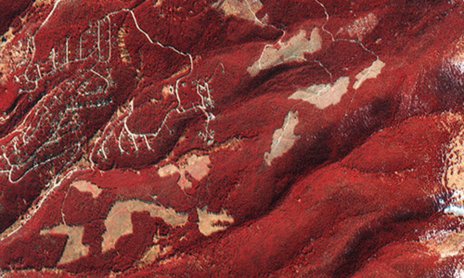
- Map of detecting land changes, monitoring and monitoring of vegetation in burnt areas
- Forest fire damage assessment
- Monitoring forest area changes
- Serving forest inventory and monitoring, giving quick and accurate results
- Vegetation assessment.
- Reducing the risk of deforestation
- Classification of forest cover
- Inventory of data, maps on cadastral and field records of forest area
- Estimation of biomass, to support the calculation of forest biomass quickly and in a timely manner.
- GIS mapping of forest cover, ground cover.
- GIS mapping of plant structure features such as height, biomass, trunk cross-sectional area, forest volume).
- Monitor disturbances (logging, fire, insect hazards.
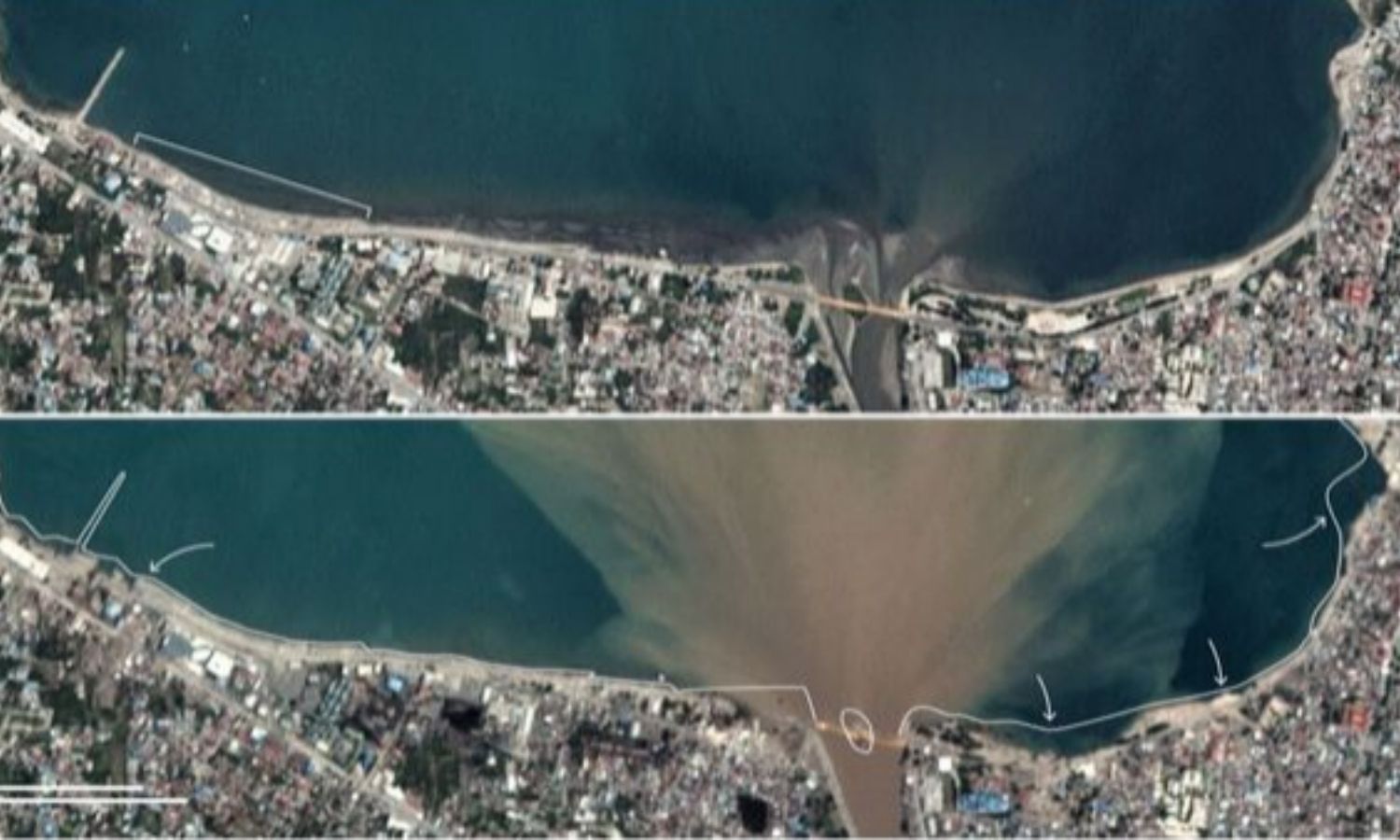
- Monitor land changes (deforestation, forest degradation, reforestation).
- Monitor photosynthesis (according to crop length).
