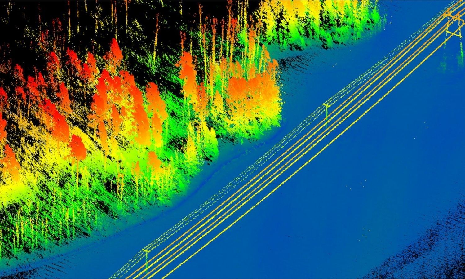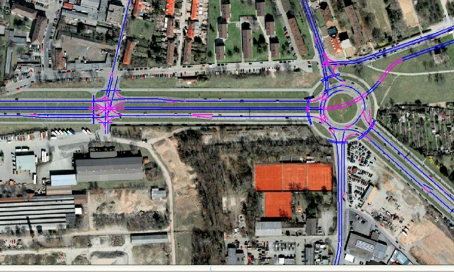
Providing solutions and services of remote sensing – geospatial in the task of planning and construction of the transport... read more

Provide disaster risk monitoring and management system. Remote sensing solution allows to monitor crops, prepare crop insurance, estimate agricultural... read more
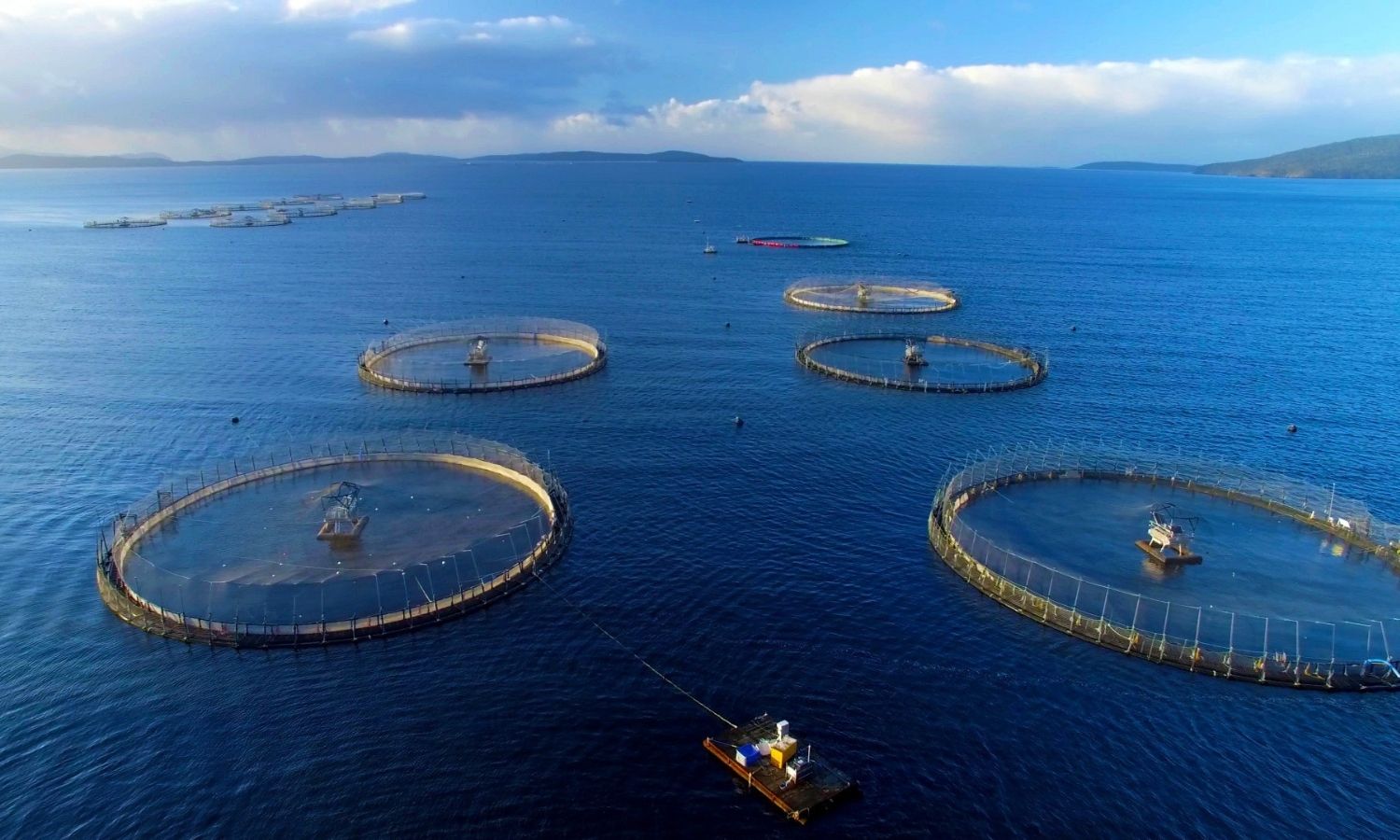
Researching software to trace output in agriculture in general and providing remote sensing and GIS solutions for aquaculture in... read more

Specializing in providing solutions and services of remote sensing, GIS for monitoring tasks, planning territories, supporting planning policies and... read more
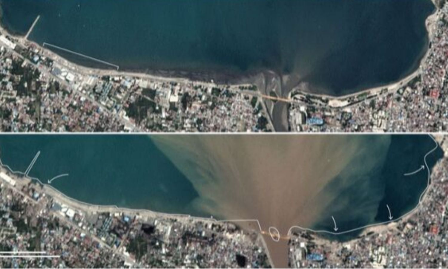
Providing solutions for processing and analyzing remote sensing – geospatial data, supporting monitoring and evaluation of soil, water, and... read more
Organize professional training in the field of geospatial solutions, products, and software for agencies, organizations, and individuals in the... read more

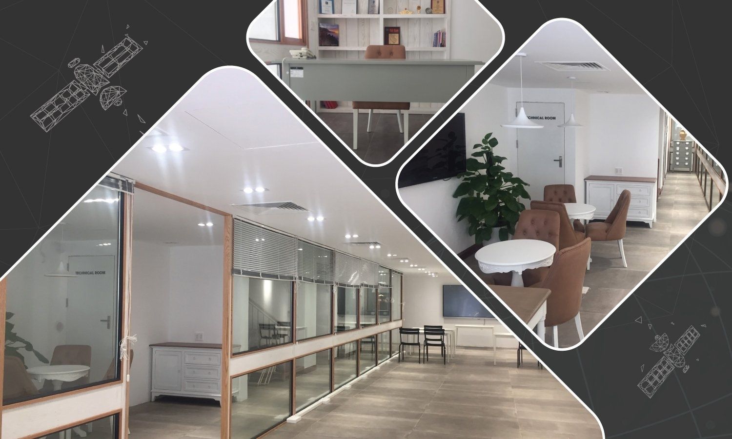
Providing marketing consulting services for geospatial remote sensing products and GIS technology
Building geodatabase, infrastructure
Build a database that includes business... read more
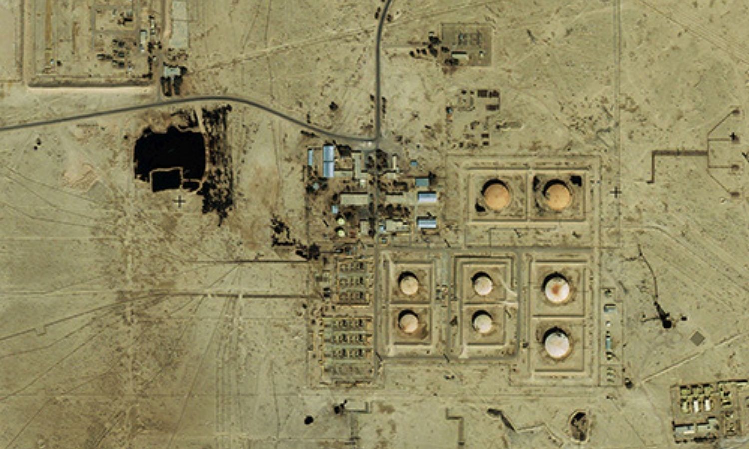
Analyzing and processing remote sensing data in potential energy exploitation and development such as oil and gas, mineral fields,... read more
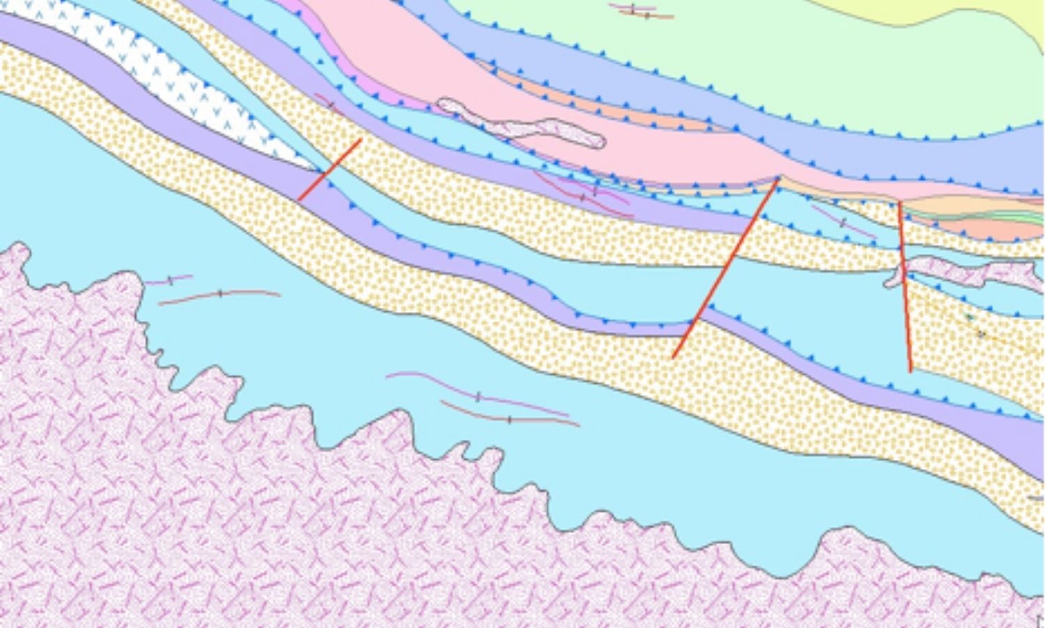
Providing remote sensing solutions and services to support geological and geostructural monitoring and mapping, mineral and water exploration, hydrocarbon... read more
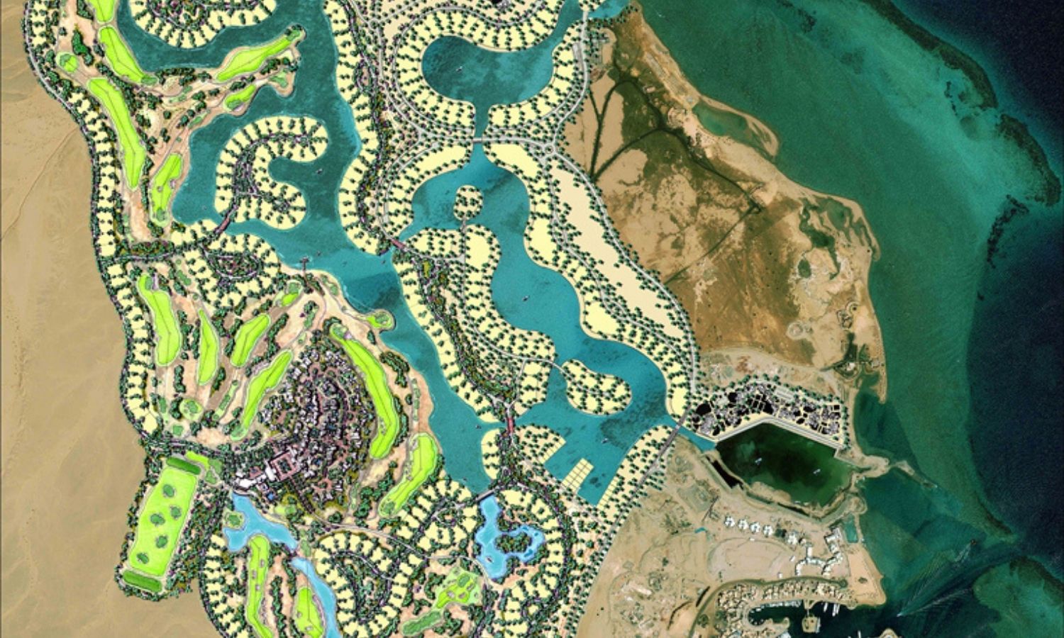
Provides high-resolution satellite imagery and GIS data for tourism & recreation projects, accurate digital mapping of areas with subsidence.
Digital... read more