What Does Geospatial Intelligence Do?
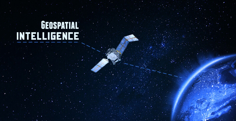
Geospatial Intelligence (GEOINT) is a dynamic field that combines geospatial data, advanced analytics, and visualization techniques to provide valuable insights into our world. From enhancing situational awareness to supporting critical decision-making, GEOINT offers a multitude of benefits across various industries. In this article, we will explore the key functions and applications of GEOINT, showcasing its transformative power.
Understanding the World with Precision
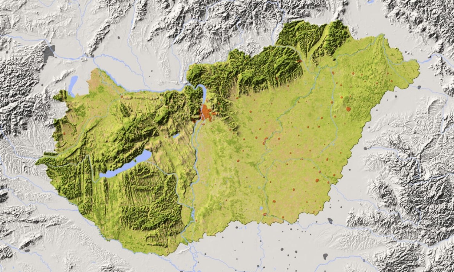
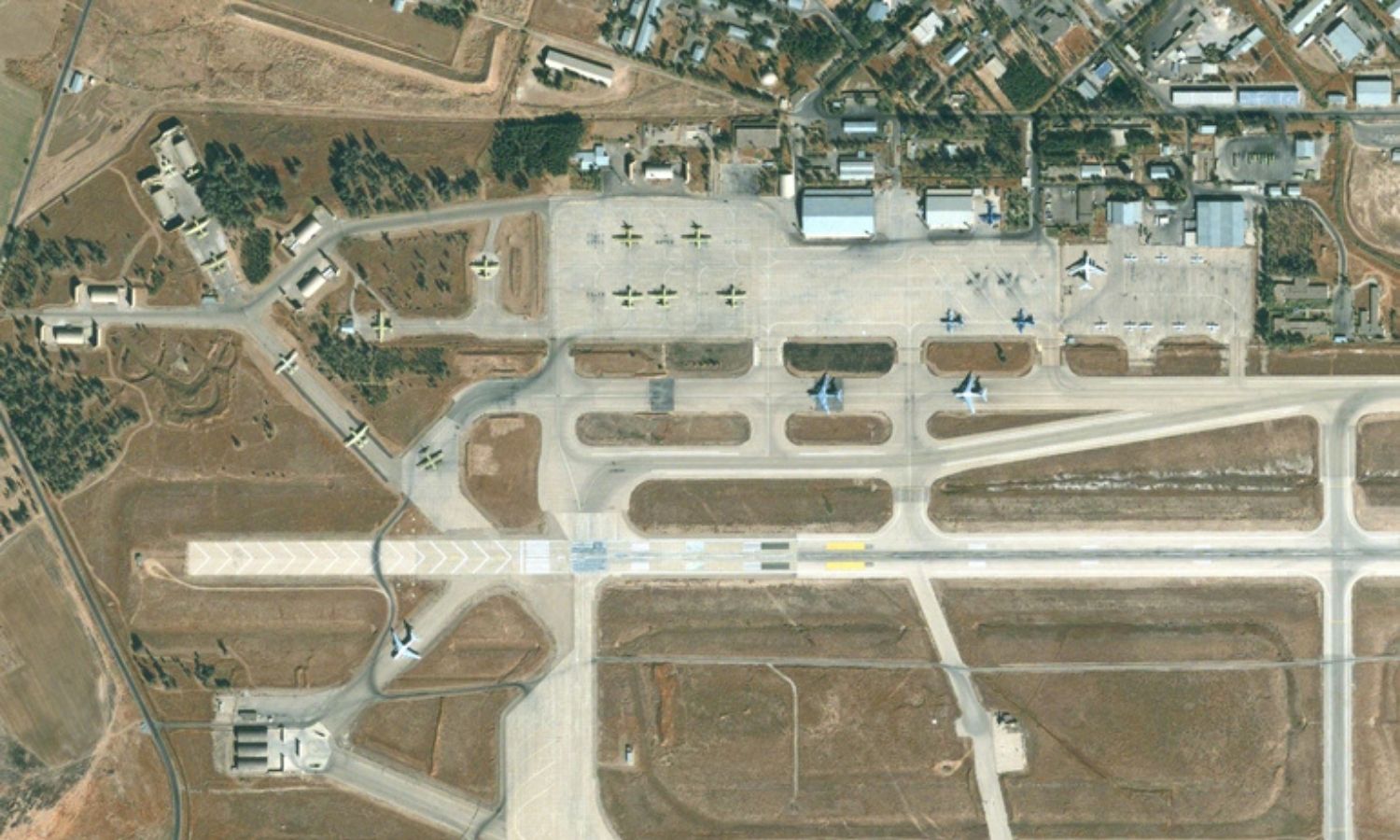
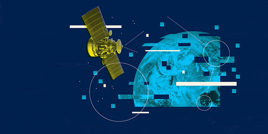
GEOINT allows us to assess the Earth’s surface with unparalleled precision. By leveraging satellite imagery, aerial photography, and GIS data, GEOINT provides detailed information about the environment, including topography, land cover, and infrastructure. This comprehensive assessment forms the foundation for effective decision-making in diverse sectors.
Deriving Insights from Geospatial Data
GEOINT excels in analyzing geospatial data to derive meaningful insights. Through advanced analytics and modeling techniques, GEOINT professionals can identify patterns, trends, and relationships within spatial information. This analytical power enables organizations to make informed decisions, mitigate risks, and optimize resource allocation.
Empowering Innovation and Development
GEOINT serves as a catalyst for advancements in technology, research, and innovation. It enables the development of cutting-edge tools, software, and methodologies that enhance data acquisition, analysis, and visualization. By pushing the boundaries of geospatial capabilities, GEOINT drives progress and empowers organizations to tackle complex challenges.
Supporting Critical Operations and Decision-Making
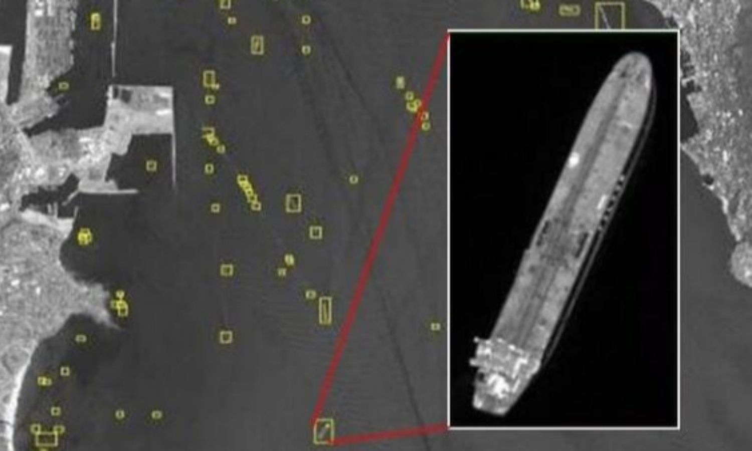
GEOINT plays a vital role in supporting critical operations and decision-making processes. Whether it’s in defense and security, disaster response, urban planning, or environmental management, GEOINT offers real-time and near-real-time information. This support enhances situational awareness, aids in risk assessment, and facilitates timely responses to dynamic situations.
Unlocking Success with Geospatial Insights
Ultimately, GEOINT helps organizations achieve their goals and objectives. By leveraging the power of geospatial insights, businesses can optimize their operations, improve efficiency, and gain a competitive advantage. From infrastructure planning to supply chain management, GEOINT provides the tools and knowledge needed to succeed in today’s complex and interconnected world.
Geospatial Intelligence (GEOINT) revolutionizes our understanding and interaction with the world. Through accurate assessment, insightful analysis, technological advancements, operational support, and successful outcomes, GEOINT empowers individuals, organizations, and governments. By embracing GEOINT, we unlock a wealth of geospatial knowledge that drives innovation, informs decision-making, and fosters sustainable development. So, harness the power of GEOINT and embark on a transformative journey towards a smarter, more informed future.
At Vega Geospatial Center, we harness the power of GEOINT to empower our clients with accurate information, in-depth analysis, and innovative solutions that drive success. Our Geospatial Intelligence solutions encompass a range of tools, technologies, and methodologies that enable the collection, analysis, and visualization of geospatial data. By integrating multiple data sources, such as satellite imagery, aerial photographs, and geospatial databases, GEOINT solutions provide a holistic view of the environment, including physical features, infrastructure, and socio-economic factors. Join the growing list of satisfied clients who have experienced the exceptional services provided by Vega Geospatial Center. Our commitment to excellence, cutting-edge technology, and customer-centric approach have made us a trusted partner in the geospatial industry. Visit our website at www.vegageospatial.com to learn more about our geospatial services and how we can help your organization thrive. Take the first step towards a brighter future with Vega Geospatial Center today!
