Map
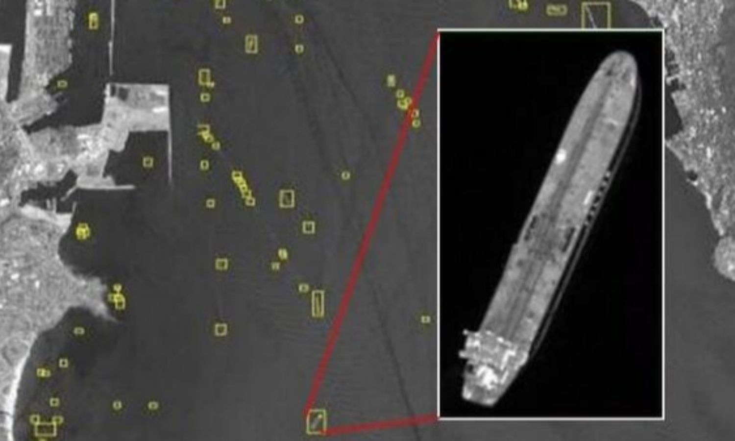
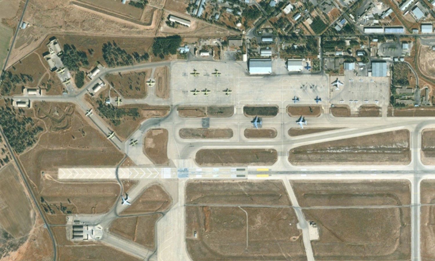
Providing Radar, Lidar satellite images, hyperspectral images, infrared images… serving the tasks of advising and securing the terrain, supporting the purposes of Security – Defense.
- High-precision 3D mapping UAV drone system
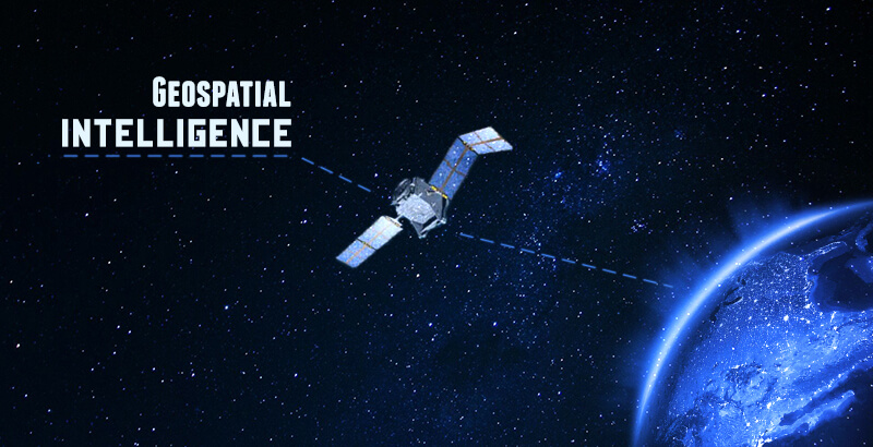
- Geospatial data processing and analysis system
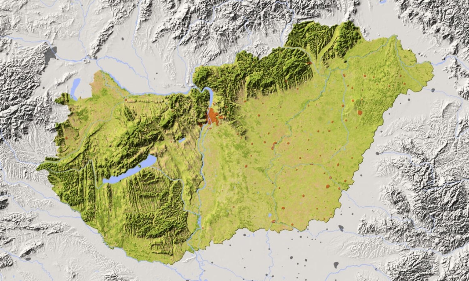
- Thematic mapping, aerial photography, and GIS
- Measuring and mapping three-dimensional space
- Observation satellite system
- Ground-based radar system
