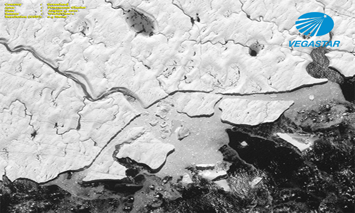
Ứng dụng ảnh viễn thám quản lý biến đổi khí hậu toàn cầu Trang Huyền2023-04-25T14:41:05+07:00Ứng dụng ảnh viễn thám kết hợp dữ liệu GIS giúp xác định sự biến đổi khí hậu, ảnh viễn thám cung cấp bộ dữ liệu [...] FacebookTwitterLinkedInGoogle +Email Read more...
Ứng dụng viễn thám phát triển dầu khí và giám sát mỏ khoáng sản Trang Huyền2021-06-10T17:58:04+07:00Ứng dụng viễn thám phát triển dầu khí và giám sát mỏ khoáng sản. Việc sử dụng dữ liệu vệ tinh và hệ thống [...] FacebookTwitterLinkedInGoogle +Email Read more...
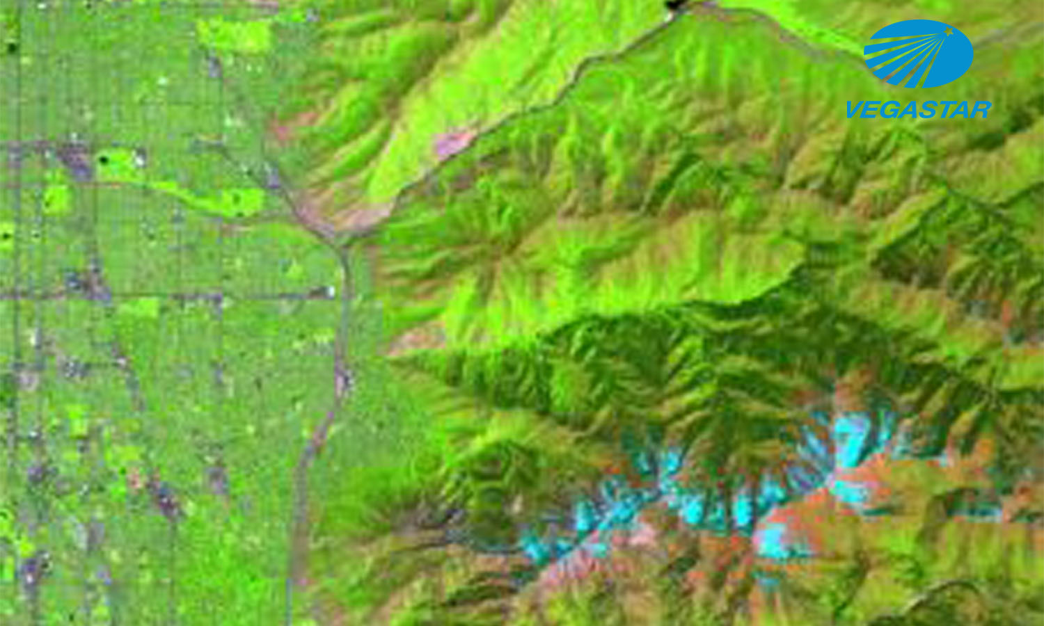
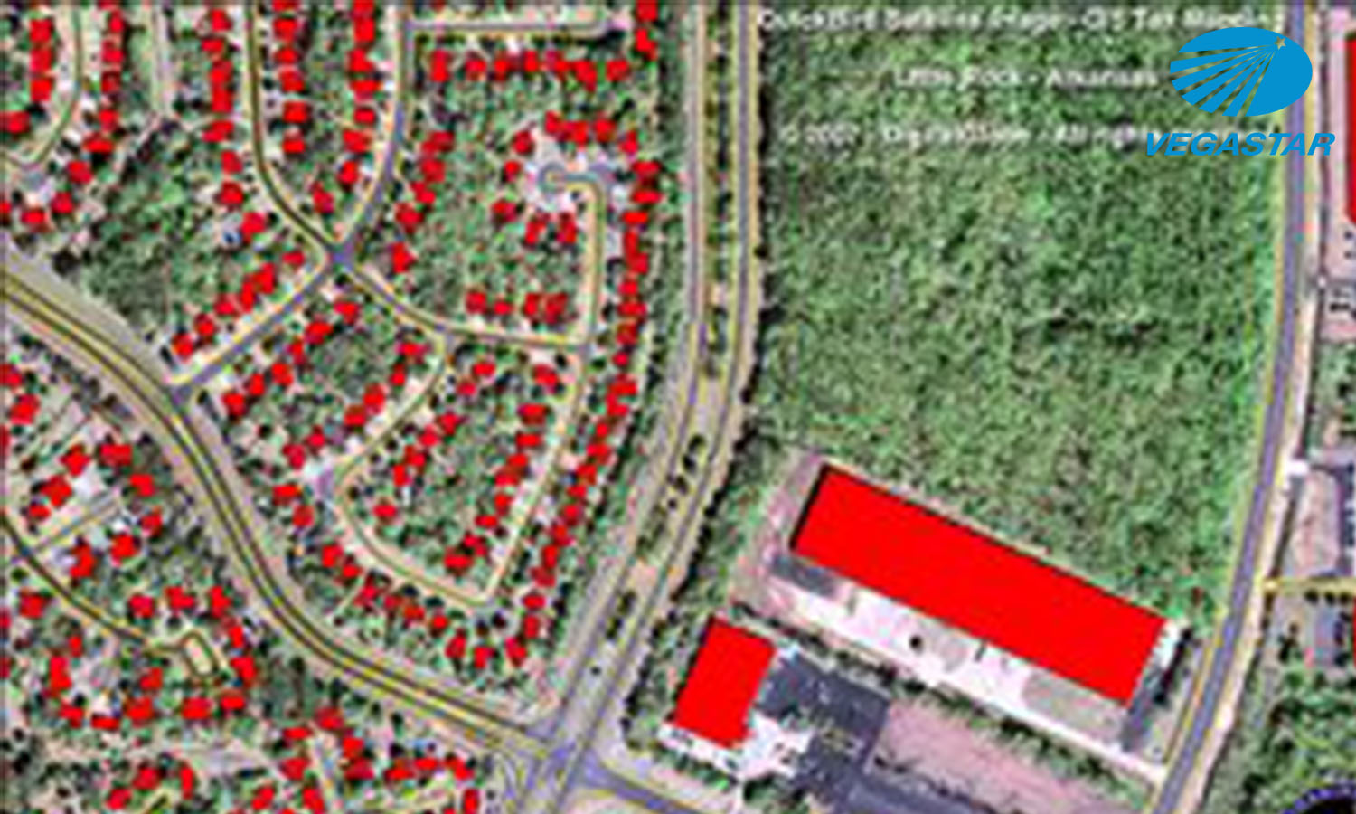
Ứng dụng viễn thám trong giám sát tài nguyên đất Trang Huyền2021-01-27T11:55:45+07:00Ứng dụng ảnh viễn thám trong giám sát tài nguyên đất. Lựa chọn công nghệ viễn thám là giải pháp ưu tiên quan trọng hàng đầu trong [...] FacebookTwitterLinkedInGoogle +Email Read more...
Ứng dụng viễn thám trong quản lý rừng Trang Huyền2022-07-27T11:07:49+07:00Ứng dụng viễn thám trong quản lý rừng là giải pháp tối ưu nhất trong việc quản lý tài nguyên rừng, hiện nay nhà [...] FacebookTwitterLinkedInGoogle +Email Read more...
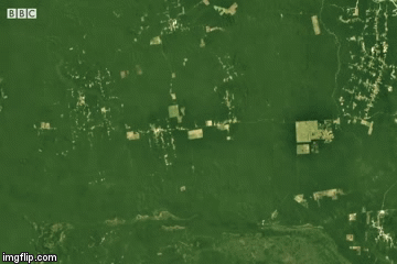
Sự thu hẹp rừng trong ba thập kỷ nhìn từ vệ tinh Trang Huyền2021-01-25T17:22:41+07:00Sự thu hẹp rừng trong ba thập kỷ nhìn từ vệ tinh. Phần lớn rừng tự nhiên ở khu vực Nam Mỹ, Amazon và [...] FacebookTwitterLinkedInGoogle +Email Read more...
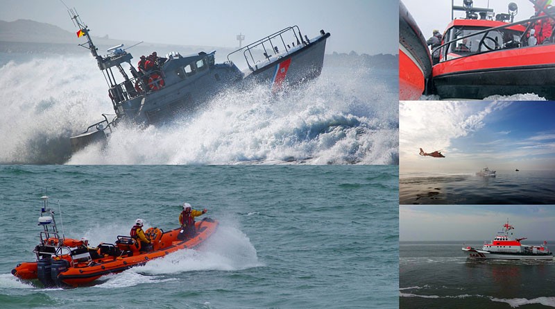
Ứng dụng viễn thám trong tìm kiếm và cứu hộ hàng hải Trang Huyền2021-07-06T14:31:04+07:00Ứng dụng ảnh viễn thám trong tìm kiếm và cứu hộ hàng hải trở thành một nhiệm vụ to lớn với sự phát triển [...] FacebookTwitterLinkedInGoogle +Email Read more...
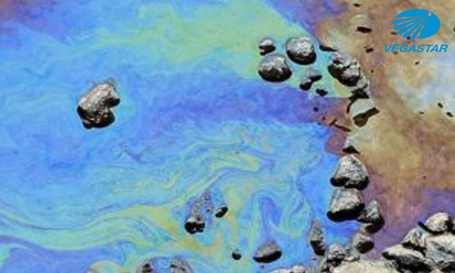
Ứng dụng ảnh viễn thám xử lý ô nhiễm dầu trên biển Trang Huyền2021-01-25T15:51:03+07:00Ứng dụng ảnh viễn thám xử lý ô nhiễm dầu trên biển. Dầu khí có giá trị to lớn trong nền kinh tế của [...] FacebookTwitterLinkedInGoogle +Email Read more...
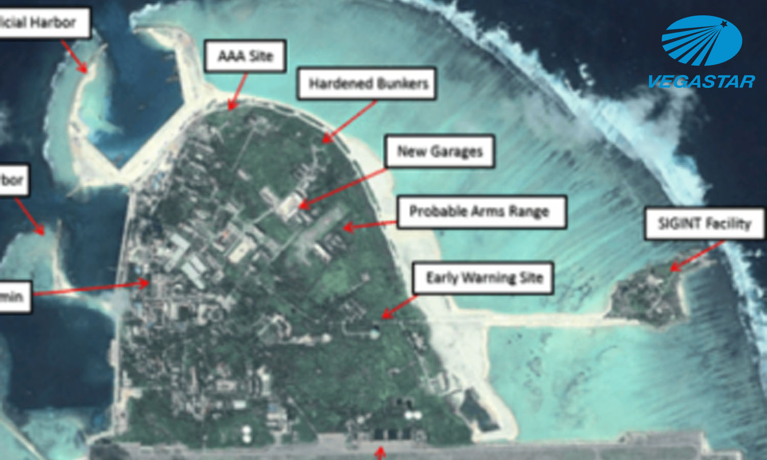
Ứng dụng viễn thám quản lý nhà nước đóng vai trò then chốt Trang Huyền2021-01-25T15:44:44+07:00Ứng dụng viễn thám quản lý nhà nước đóng vai trò then chốt, trở thành một lĩnh vực công nghệ cao có trình độ [...] FacebookTwitterLinkedInGoogle +Email Read more...
Ảnh viễn thám và GIS xác lập bản đồ tội phạm Trang Huyền2021-01-25T15:39:43+07:00Ảnh viễn thám có độ phân giải cao và dữ liệu GIS (Hệ thống thông tin địa lý) cho phép các nhà phân tích xác [...] FacebookTwitterLinkedInGoogle +Email Read more...